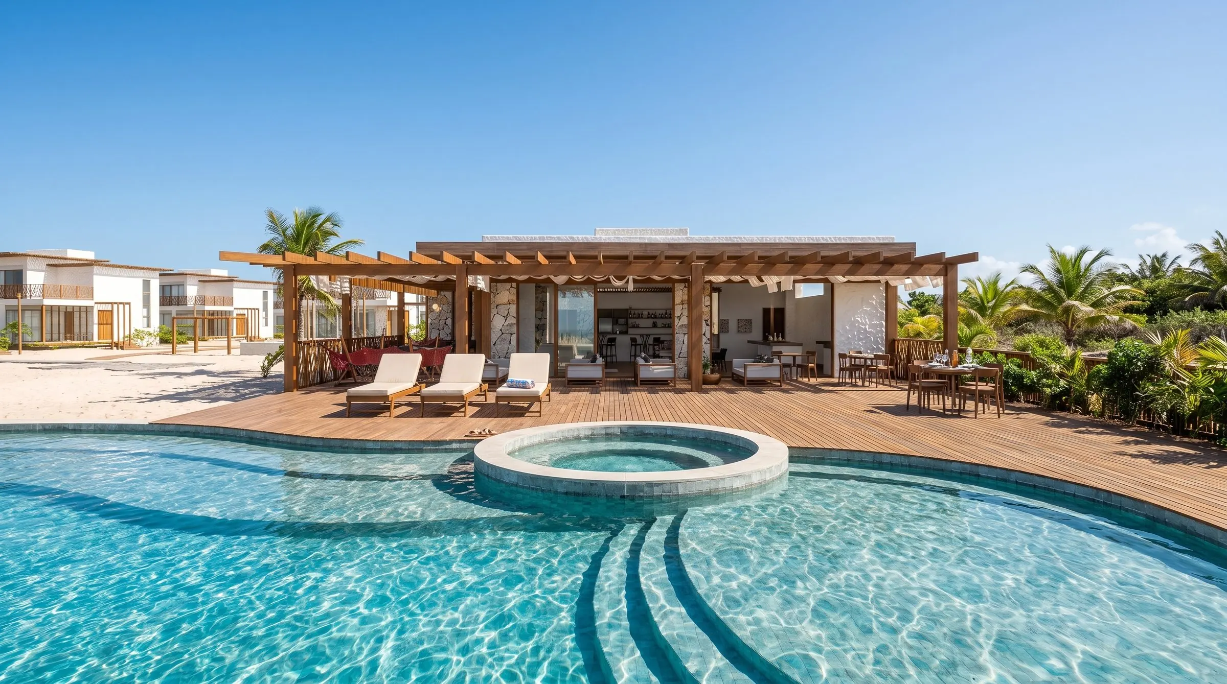
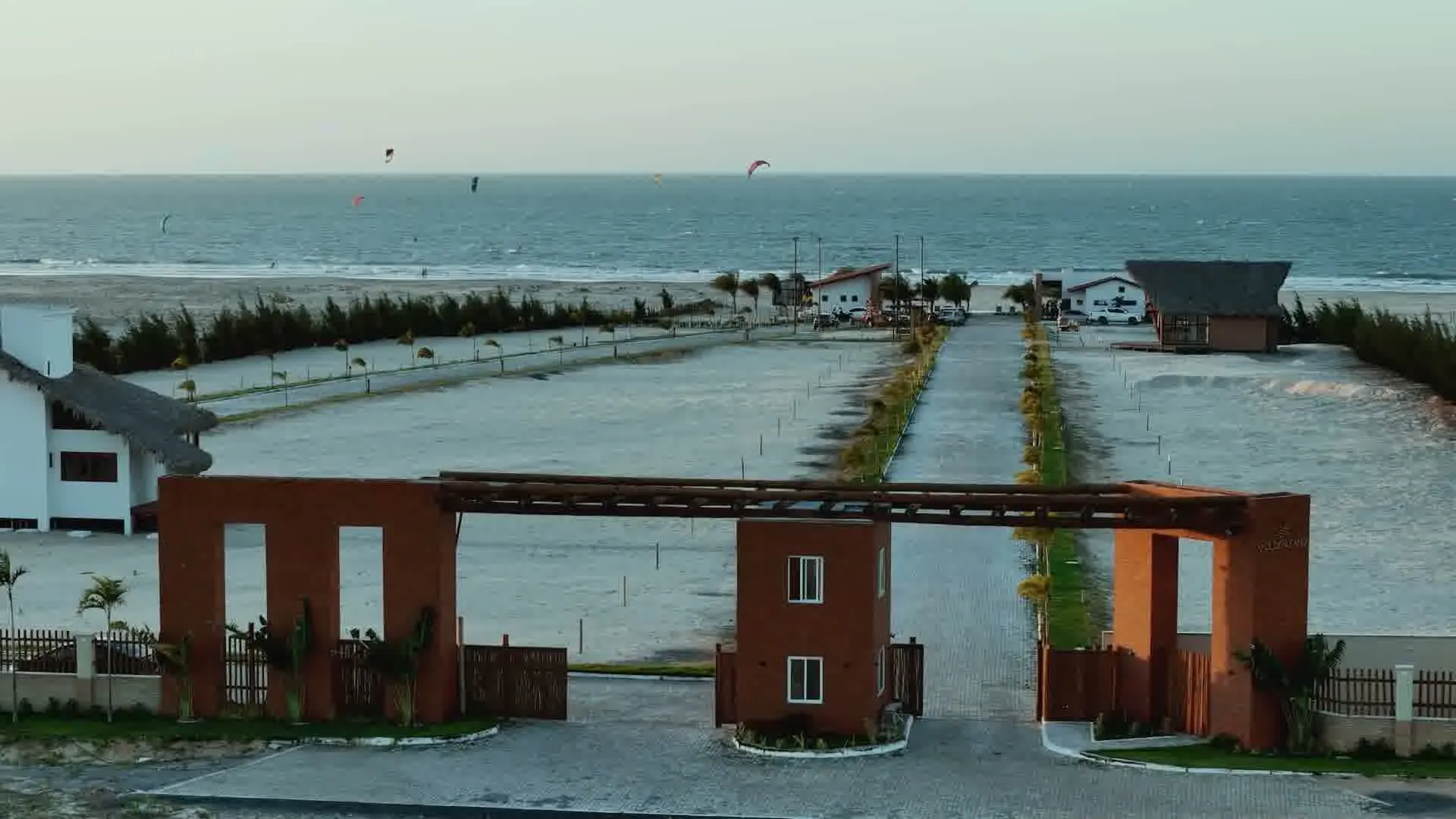
Golden Sand
Camocim's first beachfront condominium, facing the sea, 5 km from the town centre.
Learn more

Region · Ceará
A municipality on the west coast of Ceará, by the Coreaú estuary, with beaches, freshwater lagoons among dunes and wind sports.
See the developments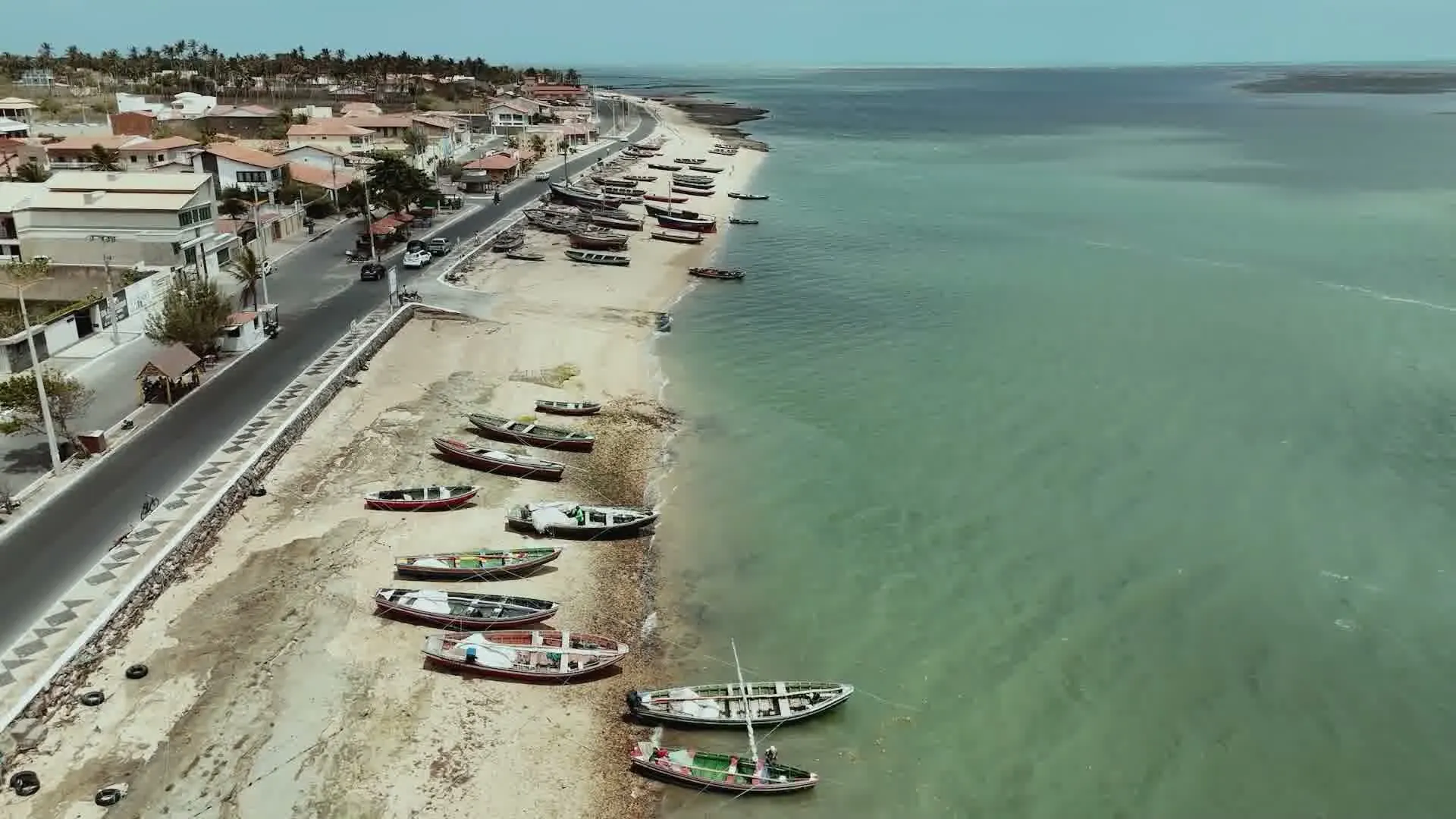
The region
Camocim lies on the west coast of Ceará, by the Coreaú estuary. The districts IBGE records are Camocim, Amarelas and Guriú.
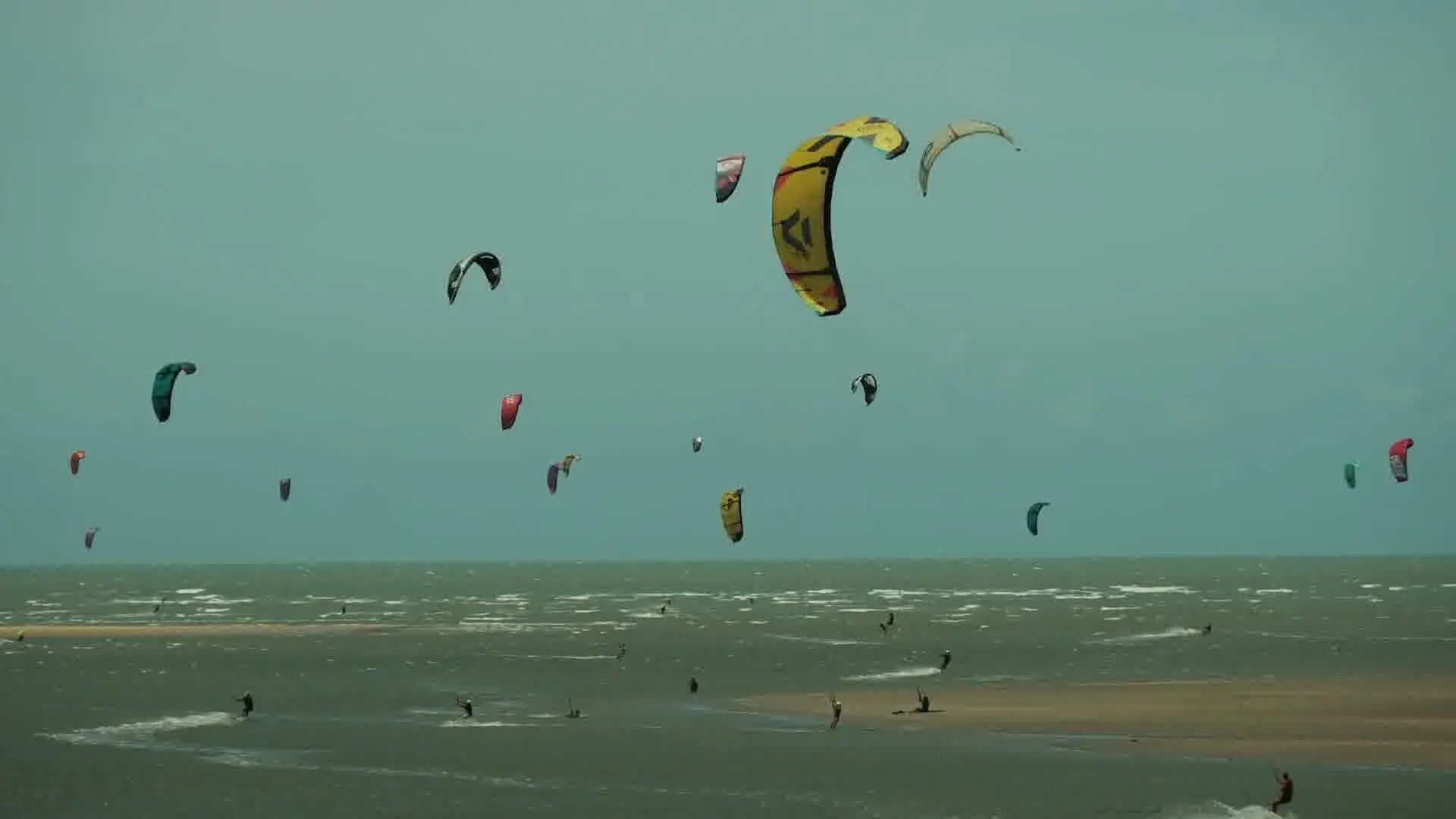
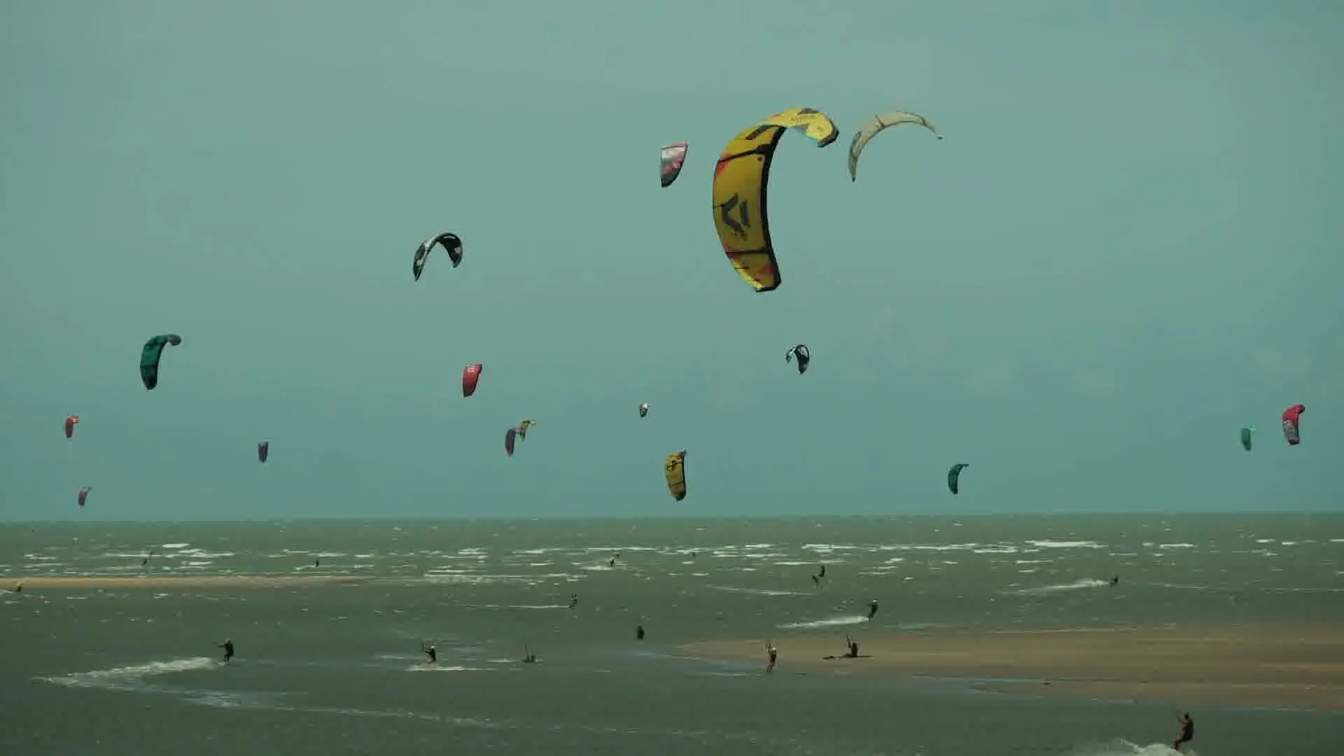
The town council highlights the beaches, the freshwater lagoons among dunes, the Coreaú estuary and water sports such as kitesurfing and windsurfing.
The portfolio developments are outside the town: Golden Sand on Praia Olho d'Água and Vila Cangalha on Praia das Caraúbas.
In numbers
Sources: IBGE, Censo 2022; Prefeitura de Camocim, pontos turísticos
Climate
There is no INMET station in Camocim. The nearest official reference with a 1991-2020 Normal is Parnaíba, in Piauí, to the west. The town council describes lagoons such as Laguinho da Torta and Lago Grande as fed by the rains.
| Month | Average rain (mm) | Average high (°C) |
|---|---|---|
| Jan | 123.1 | 32.5° |
| Feb | 173.2 | 31.7° |
| Mar | 206.9 | 31.1° |
| Apr | 216.7 | 31° |
| May | 144.5 | 31.5° |
| Jun | 51.1 | 32° |
| Jul | 42.7 | 32.7° |
| Aug | 4.5 | 34° |
| Sep | 0.9 | 34.6° |
| Oct | 2.5 | 34.5° |
| Nov | 3 | 34.2° |
| Dec | 27.8 | 33.8° |
According to FUNCEME, Ceará's rainy season runs from February to May, with a pre-season in December and January. ICMBio describes the region's rain as concentrated from February to May, broken by sunny spells.
There is no official wind measurement on the west coast. At the INMET station in Fortaleza, the only one with an official wind series in the 1991-2020 Normal, the average is highest from August to December and lowest from March to May, blowing mainly from the east.
Unofficial data: Windfinder's statistics for Jericoacoara (a private service, observations from 2005 to 2015) show a monthly average of 13 to 14.7 knots from August to November and 6 to 7 knots from April to June.
Getting there
Jericoacoara Regional Airport, Comandante Ariston Pessoa (JJD), is in the municipality of Cruz, on the CE-085. Since 1 September 2026 it has been run by Fraport Brasil, the same concession holder as Fortaleza airport.
Camocim and Tatajuba are reached along the CE-085. Tatajuba can also be reached along the shore, crossing the mouth of the Coreaú.
Ferries cross the Coreaú River to Ilha do Amor, and the floating pier serves tourist boats. Praia da Barrinha, 21 km away, and Lago das Cangalhas are reached by 4x4 or buggy.
Attractions
Opposite the town, with mangroves, dunes and beaches; reached by ferry across the Coreaú River.
Between Camocim and Jericoacoara, with the Duna do Funil, also called Morro Branco.
A freshwater lake among white dunes, with kitesurfing, windsurfing, stand up paddling and canoeing.
A freshwater lake among dunes on the west coast, reached by 4x4 or buggy.
Between Praia do Farol do Trapiá and Praia do Maceió, 12 km from the town along the shore, popular for water sports.
Kitesurfing and windsurfing, with guesthouses, beach huts and a kitesurfing school.
A Navy lighthouse, a wide strip of sand and sunsets.
A fishing village with shellfish gathering and crafts, next to the Praia Formosa wind farm.
Rules
The Park's western boundary starts at the mouth of the Guriú River, on the border with Camocim, under Law 11.486/2007.
Praia da Barrinha and Lago das Cangalhas are reached by 4x4 or buggy, according to the town council. Ilha do Amor is reached by ferry.
Information checked on September 26, 2026.
Portfolio
Partner developments in Camocim, each presented with its confirmed details.
Camocim's first beachfront condominium, facing the sea, 5 km from the town centre.
Learn moreLots and houses for sale in a beachfront condominium on Praia das Caraúbas, in Camocim, facing the kitesurfing spot.
Learn moreContact
Tell us what you are looking for. We reply on WhatsApp and book a site visit or a video call at a time that suits you.
Prefer email? [email protected]
Sources